Visuals and licenses
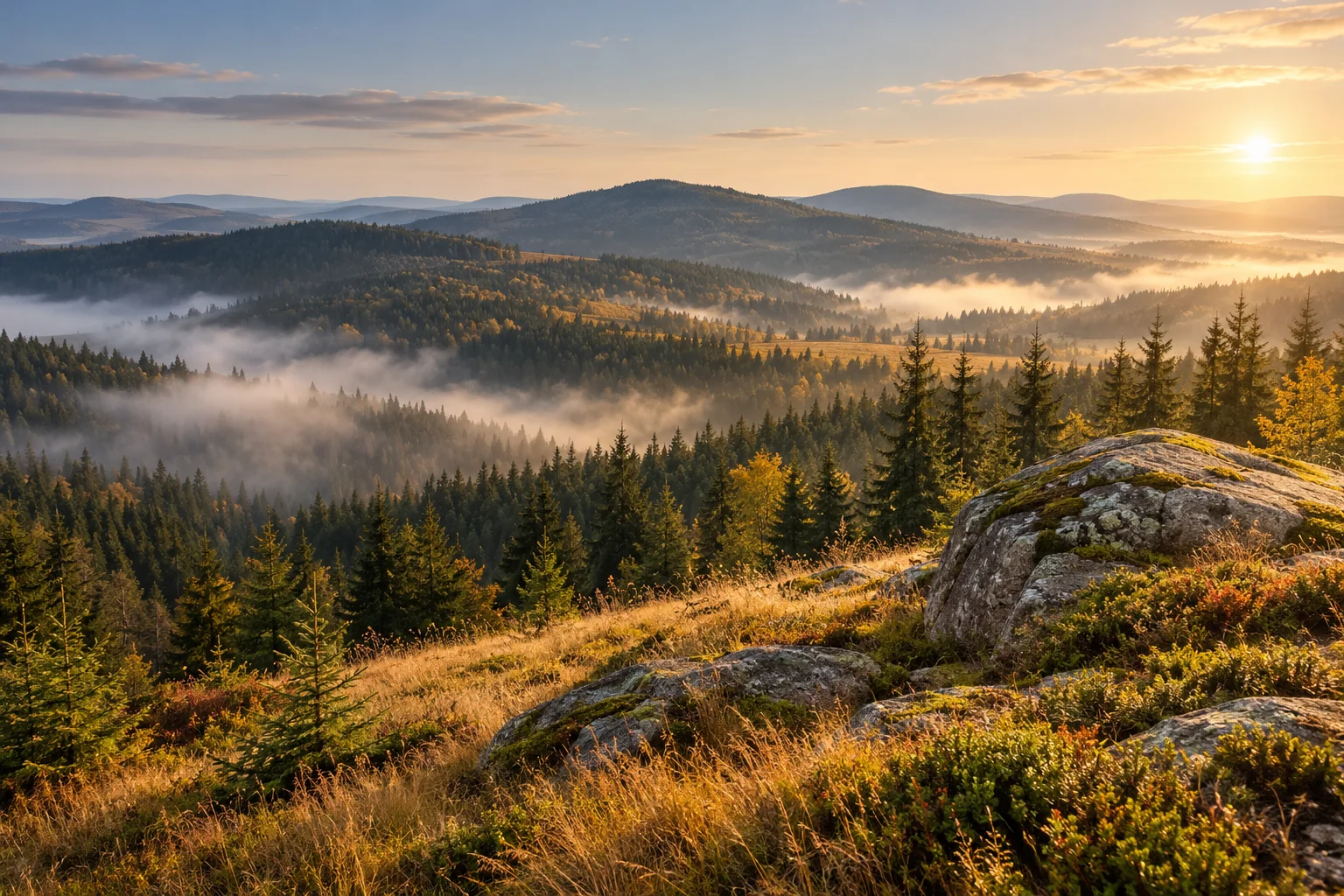
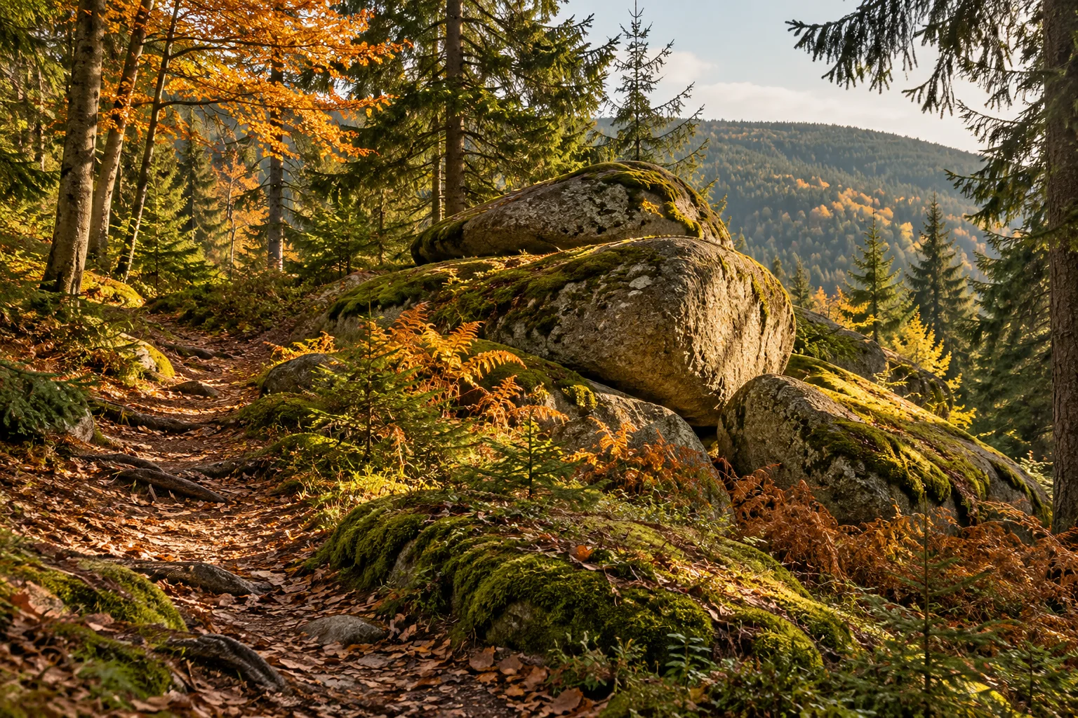
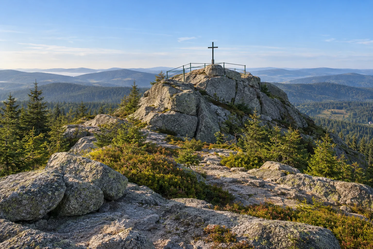
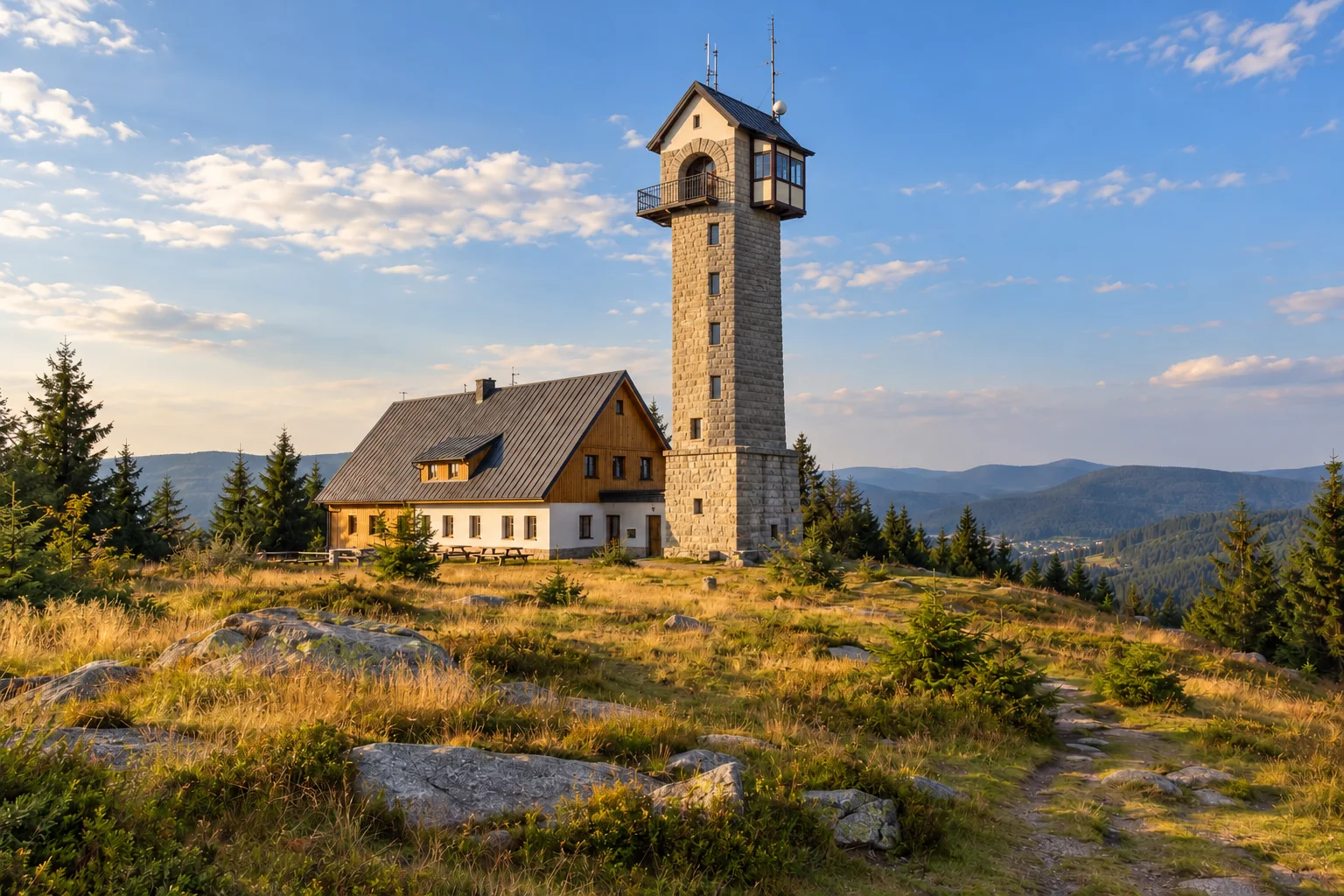
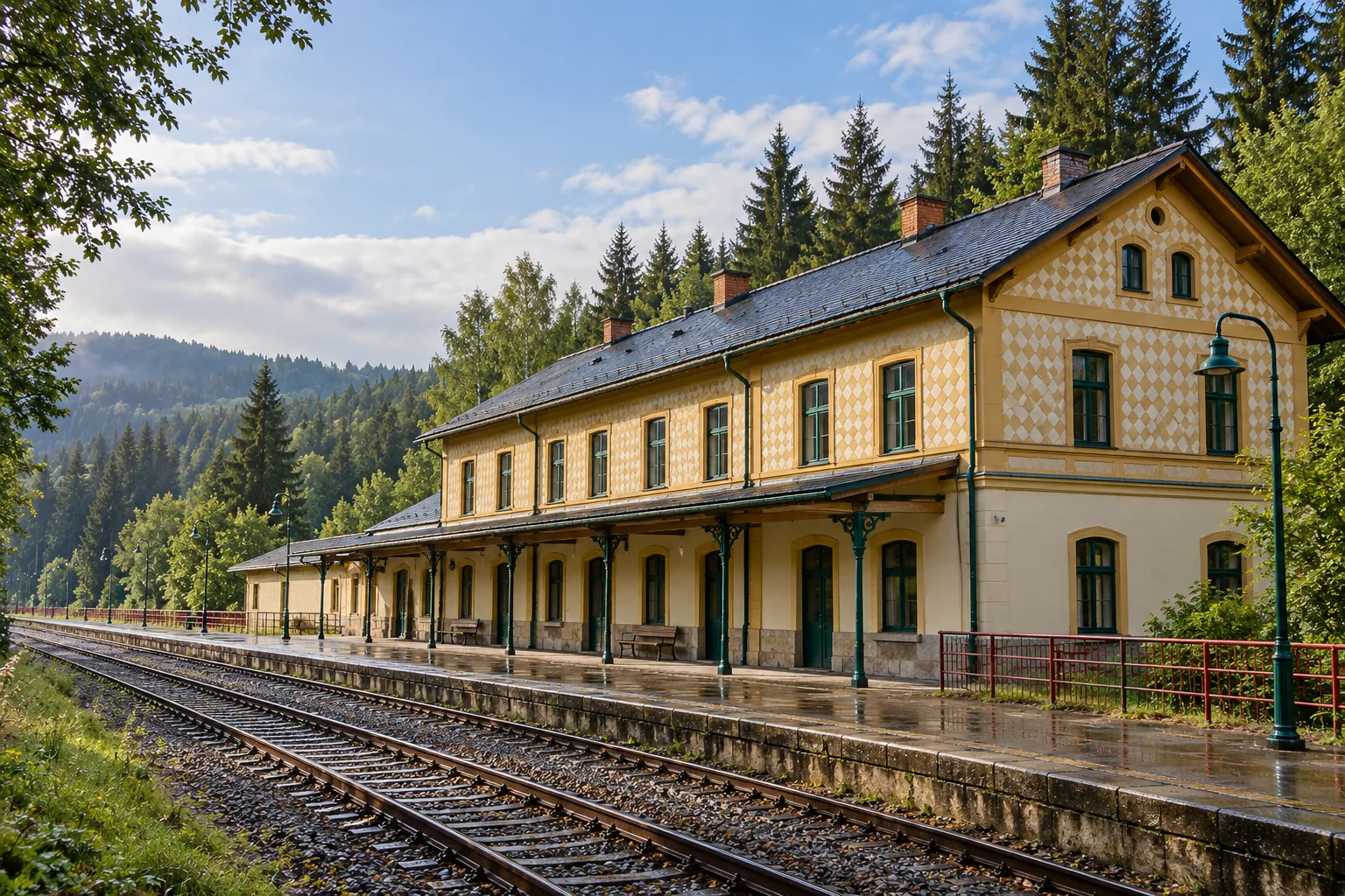
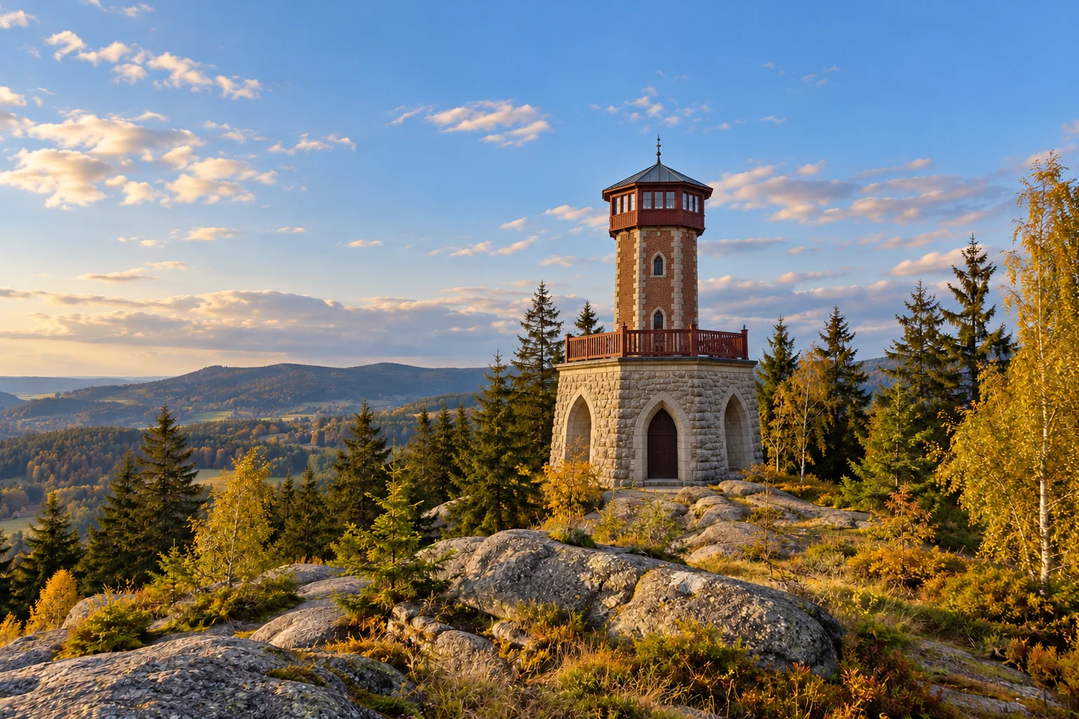
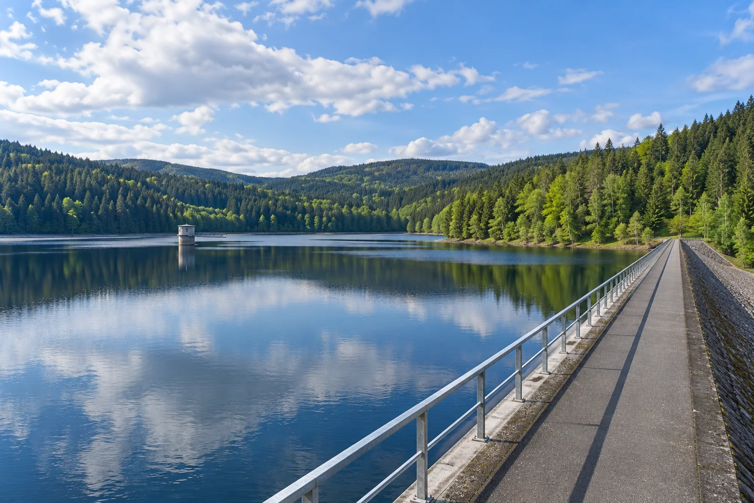
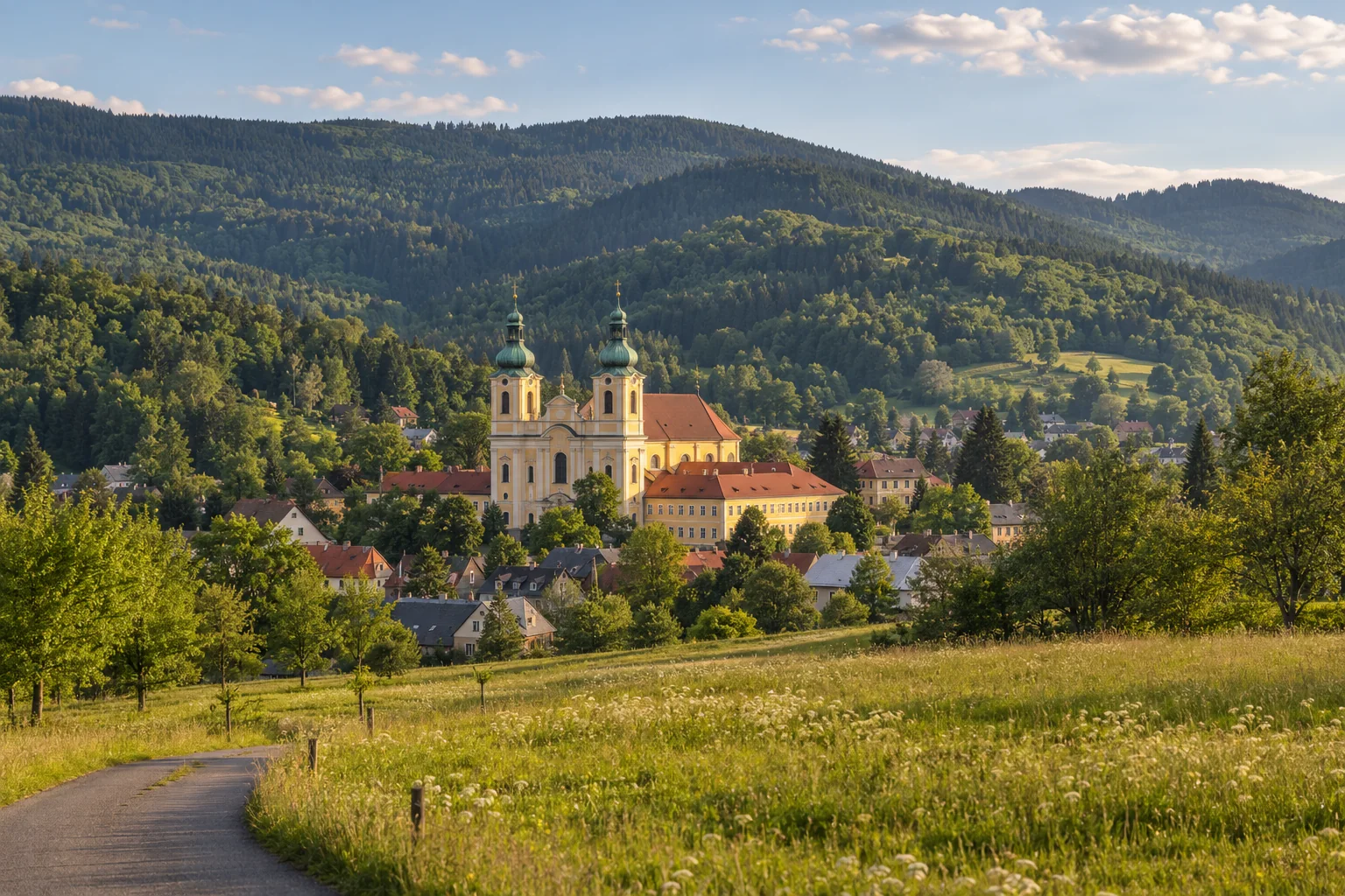
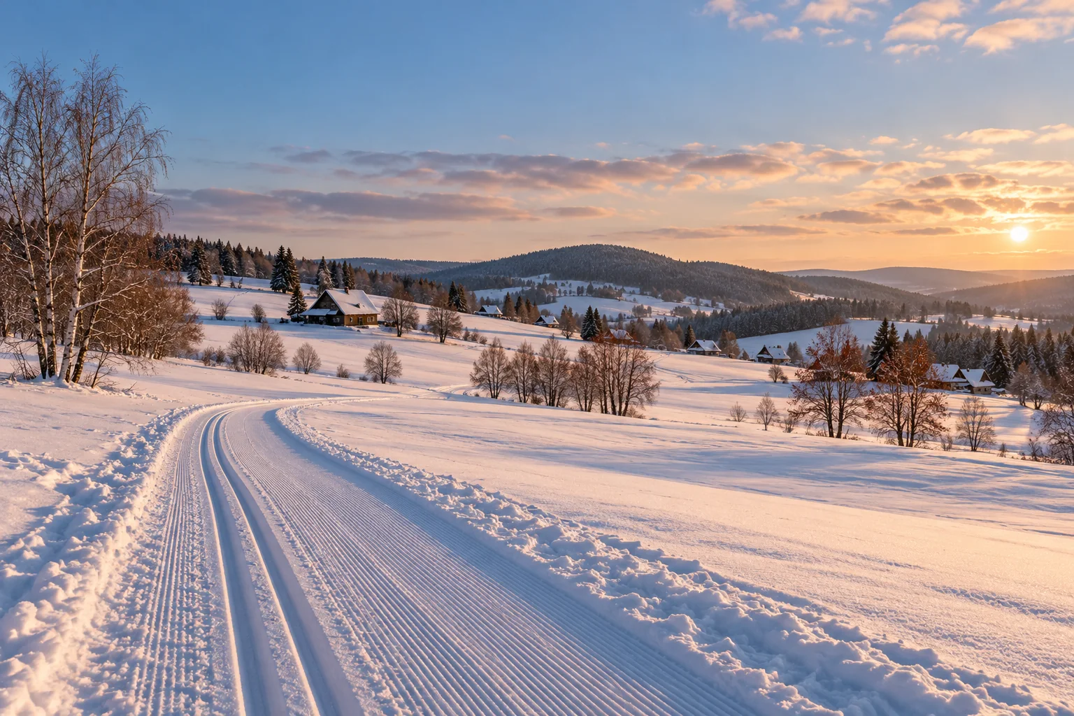
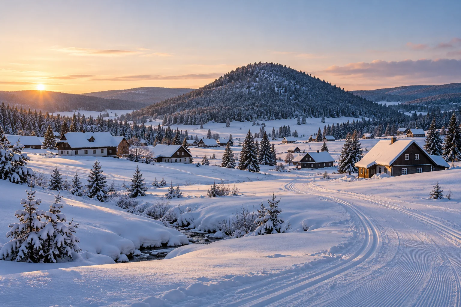
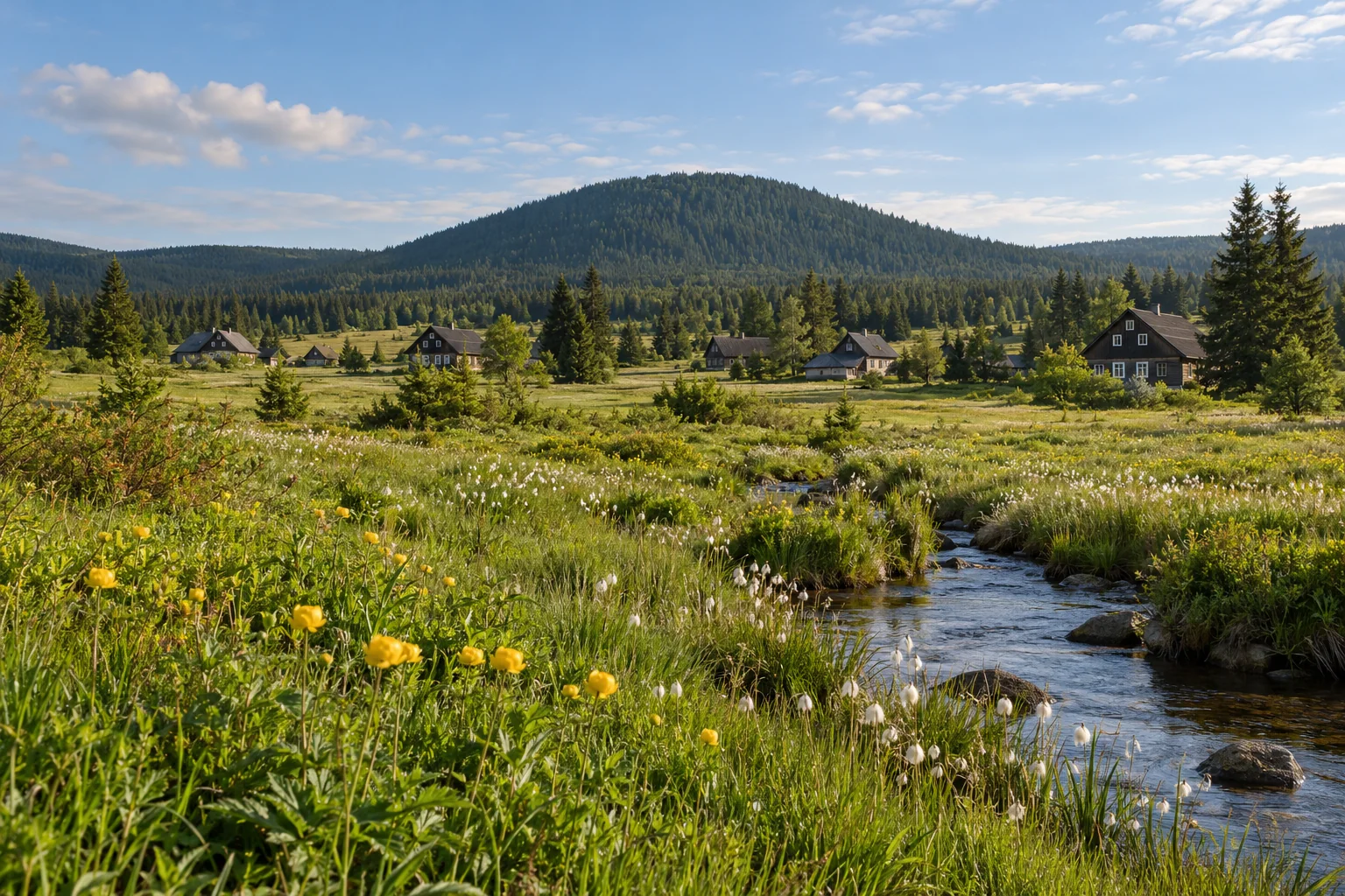
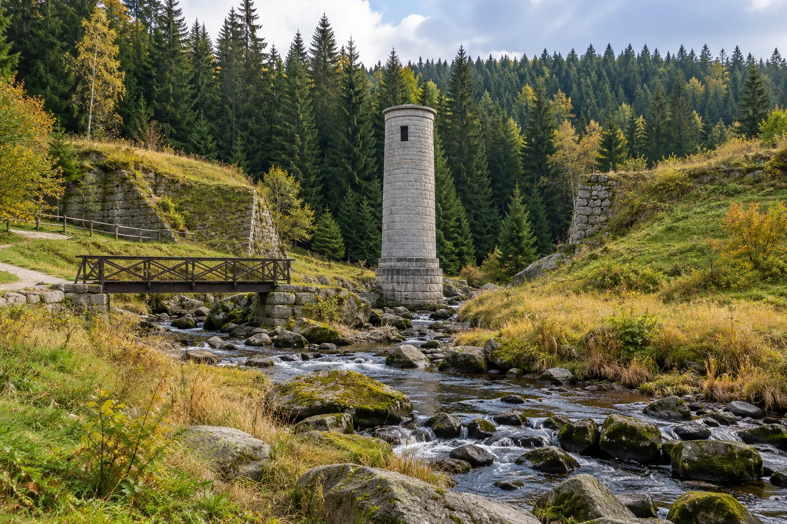
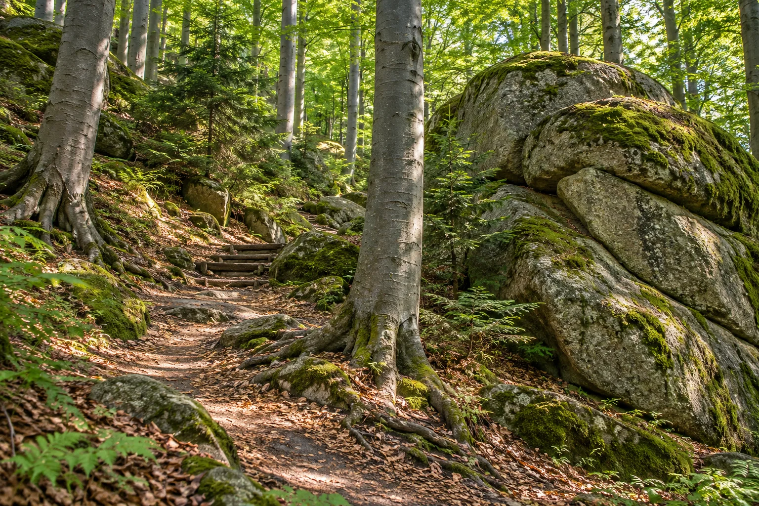
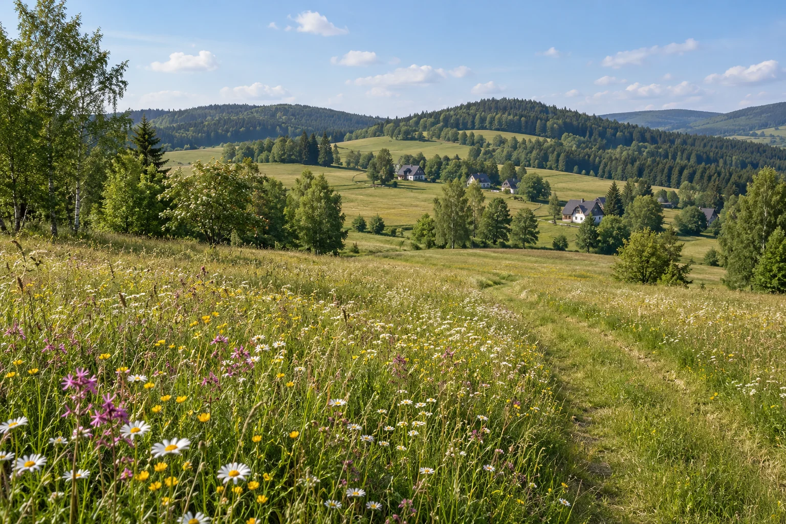
The website and app images were created with generative AI for Jizerské hory. New views use researched descriptions and characteristic features of the places; third-party photographs were neither supplied to the generator nor published. These are not documentary photographs: building details, object locations, terrain and seasonal conditions may differ from reality. Images do not document route geometry. We plan to replace them gradually with our own photographs of the actual places.

Trips
Trips contain basic planning information only. We do not reproduce third-party detailed itineraries, GPX files or route geometry. The starting point map shows only the departure location.
DB-IP Lite · CC BY 4.0 · Language and appearance · DB-IP Lite 2026-10
Leaflet 1.9.4 (BSD-2-Clause) · OpenStreetMap (ODbL) · Manrope (OFL) · Fraunces (OFL)